Although we had happily been riding the excellent buses everywhere we went in Chile, we came to a place where going further south meant either flying or diverting into Argentina, there being nothing for the most part but rough tracks south along the glacier-strewn Chilean Andes.
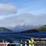
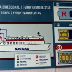
Mirabile dictu! There is a passenger- and freight-carrying ferry weekly from Puerto Montt all the way to Puerto Natales. That’s the one, at the top of the page.
One of the reasons we came to Chile was because of Patagonia. It has mystical status in my mind, like Timbuktu, or Kuala Lumpur. It turns out there is way more to the place, at least area-wise, than I knew. Patagonia is basically all the southern tip of South America, generally considered to include Tierra del Fuego. In Argentina, Patagonia is dry and flat, diametrically opposed to the steep, jagged, and damp Chilean coastline I had in mind from years of reading sailing yarns and history of the early explorers.*
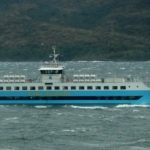
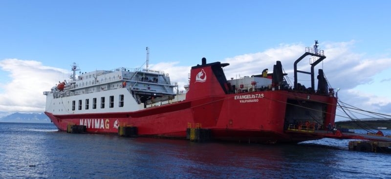
However this isn’t a post about Patagonia per se, but about how we moved ourselves southward down the coast of Chile through the portion of the territory that falls under the Patagonia umbrella, on the Navimag ferry Evangelistas.
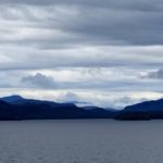
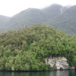
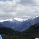
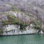
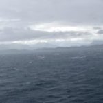
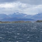
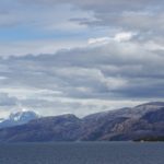
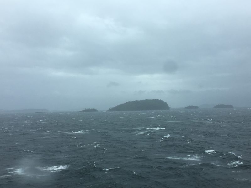
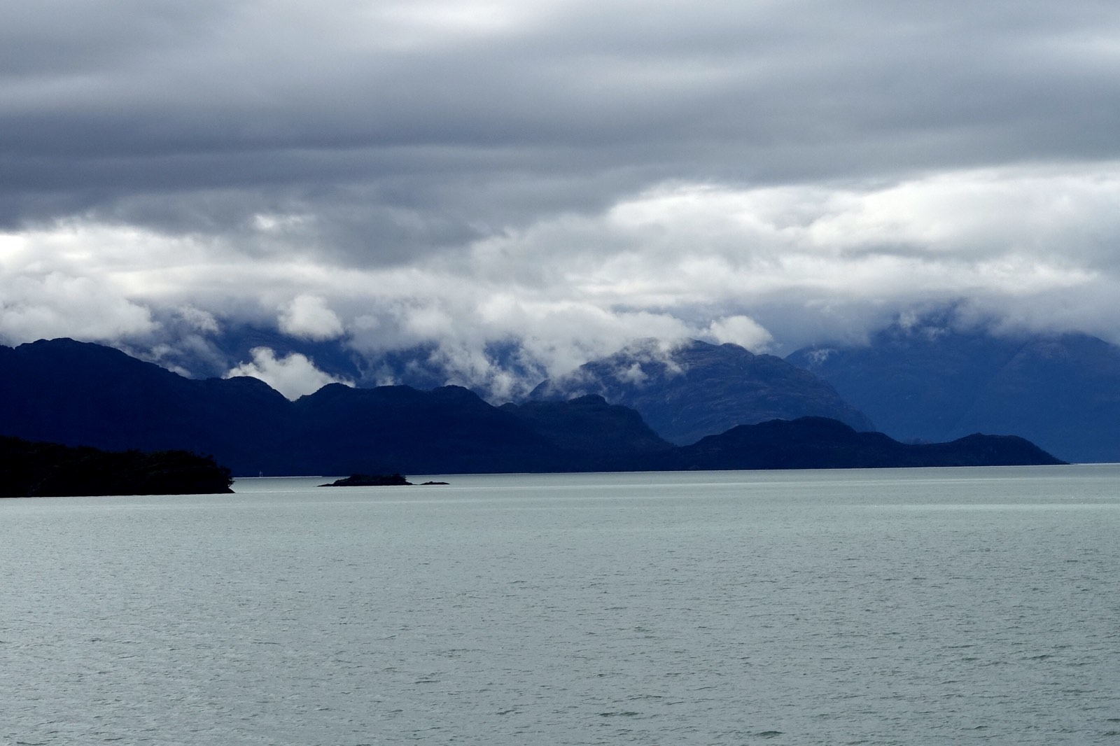
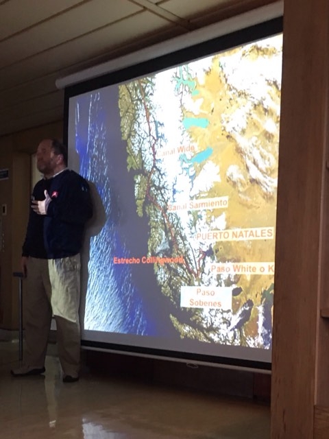
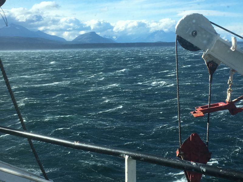
From my reading I carried an impression of Patagonia, Chile Deep South Section, as a fine-cut maze of rocky fjords and uncharted reefs islands and under a perpetual low pressure system that made the weather blustery, erratic and generally foul, in the 40-knot-with-gusts-higher-and-cold-rain kind of foul. In short, a miserable place to try to sail. The map below, from the iPhone app Tracks, that shows our track, gives just a tiny hint of the myriad compound indentions, and no hint at all of the weather.

Hence the trip down the coast on the ferry, the Navimag Evangelistas in this case, sounded wonderful. Four days, three nights, somebody else’s boat, someone else’s responsibility. I could sleep through the night if I wanted, didn’t have to go out in the cold or rain if I didn’t want to. No reefing of sails or radar tweaking for me! No night watches, and all the cooking was outsourced. Yes, please!
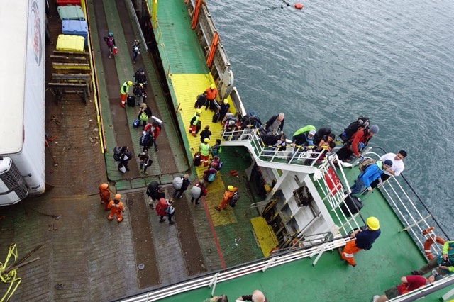
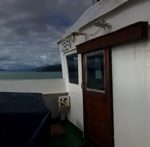
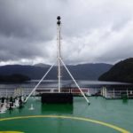
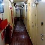
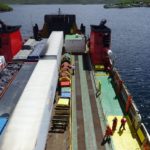
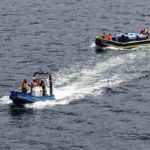
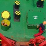
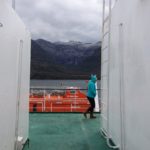
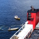
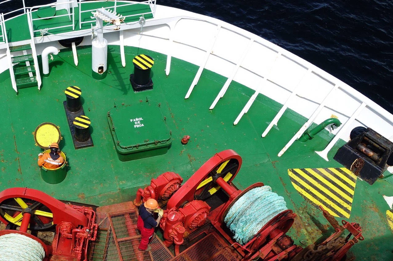
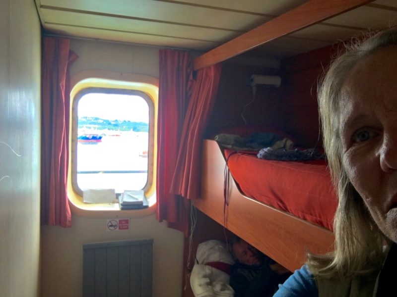
Evangelistas carries trailers and other cargo (including at times live cattle in pens on the open deck) between Puerto Montt and Puerto Natales. And it takes passengers, maybe 250 max, if every single bunk including all those indented the thwartships passageways, were filled. On our trip Constanza, the lovely young guide in training, thought we had about 160, which seemed close to capacity for dining room seating. A layout of the ship is shown in the Photo Gallery at the end of the post.
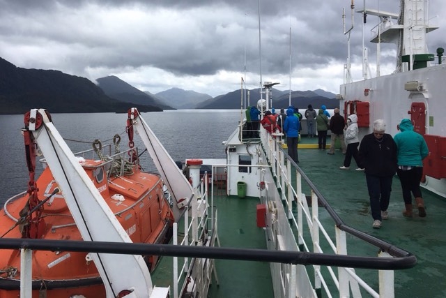
The open ocean part of the trip took place at night, with the wind mainly behind us, which made for such a comfortable ride that I slept through it all in my cozy top bunk. But Doug said, there and in the narrower channels, that he sure was glad he wasn’t trying to go the other way under sail.
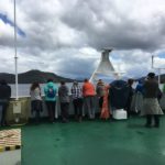
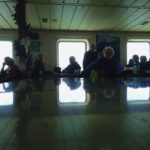
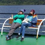
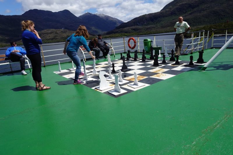
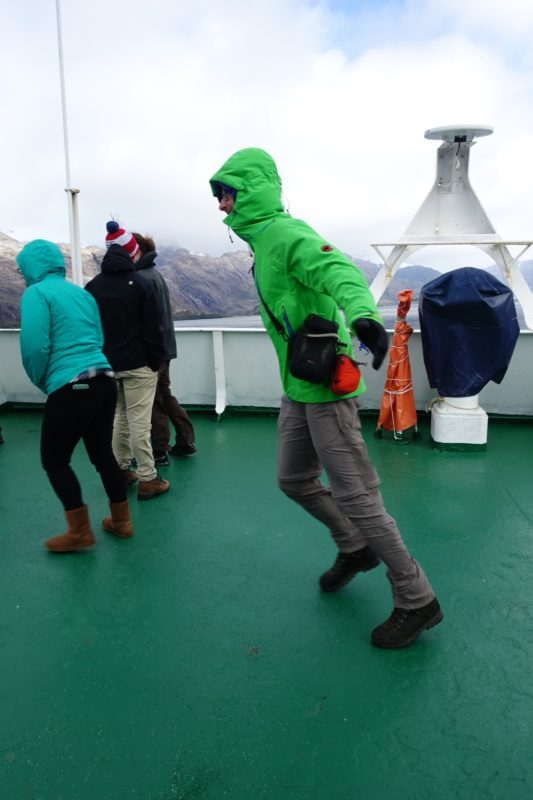
The passengers were a mix of backpackers and silverbacks, which is to say, young and old. The mid-range strongbacks, in their 30s and 40s and not with us, were, I guess, still at work.
Several groups were heading towards Torres del Paine, a Chilean national park with a well-known super-scenic 5- to 10- day hiking trail. Some would turn east and then north towards the glaciers on the Chilean-Argentine border. And some, including us, wanted to see Ushuaia, the self-styled ‘Fin del Mundo’ end of the world city, (although not too much further south in Puerto Williams they disagree, in a thinner, piping voice!)
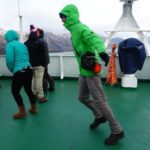
The uniform was common to all – hiking clothes, clumpy boots, puffy jackets, hi tech windbreakers. There was a scattering of North Americans, but there were many more Germans, and French, and Swiss (or as we came to call them, the sharp-elbowed Swiss). And there were a dozen Chileans, who were either tourists like the rest of us, or truckdrivers.
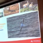
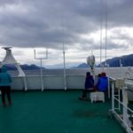
We didn’t have a cruise director exactly, since it’s a ferry, not a cruise ship. We did have a naturalist. Percy made presentations every day on matters of geology, vegetation, sea life and birds. He was a hard-working man who had to do everything in Spanish, then again in English, and he had a lot to say. He also relayed messages from the captain about expected sea conditions and how these would affect the route. So maybe he was a cruise director!
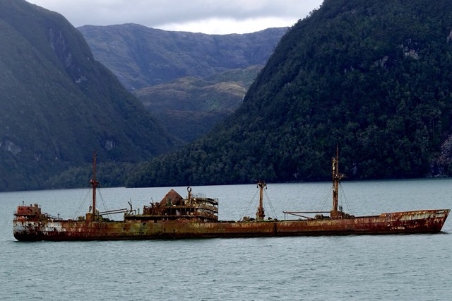
Things We Saw Underway
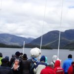
For us, at the summer solstice towards the end of December, there were some Minke whales pretty far away, some penguins, condors, maybe some birds that didn’t get announced, and at least 17 hours of daylight to see them in. Here is what I took notice of.
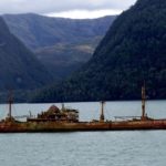
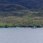
Fish farming, a rant.
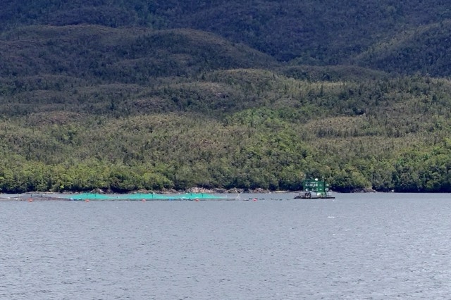
https://www.theguardian.com/environment/2016/mar/10/chiles-salmon-farms-lose-800m-as-algal-bloom-kills-millions-of-fish
http://www.foodsafetynews.com/2012/04/chilean-fish-farms-and-the-tragedy-of-the-commons/#.WKBBDOuEqK0
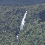
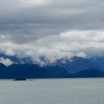
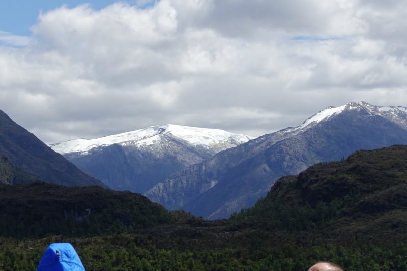
Snow-capped mountains and glaciers
Puerto Edén
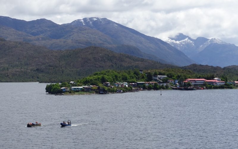
Christmas Day was sunny and bright, at least for a while, coinciding with our stop at the little settlement of Puerto Eden. Googling around to find out what the place was even there for, I learned how lucky we were with the weather: “Villa Puerto Edén has an extremely wet subpolar oceanic climate (Köppen Cfc) and is widely reputed to be the place in the world with the highest frequency of rainfall,[2] though according to Guinness World Records the highest frequency of rain in a year occurred at Bahia Felix, a little further south, with only eighteen rainless days in the whole of 1916”. (1916??)
Furthermore, this Wikipedia article went on to say that there were no roads in Puerto Eden, only raised boardwalks, and that it was the home of the last Kawéshkar people, one of several indigenous groups no longer extant in Patagonia. In 2002 there were 175 people, but Percy told us it was less than a hundred now.
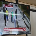
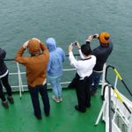
As we were anchoring off Puerto Eden, I saw someone checking his cell phone. It was interesting to watch how news of a nearby tower spread through the passengers. People who had been looking around were now looking down.
There was news from the world: a 7.7 earthquake that morning on the coast of Chile, south of Puerto Montt in an area we had traversed less than two days before. With my own phone out, I heard about it by email from a friend, and got details on the Guardian newspaper’s website, then on usgs.gov, a wonderful site for the geologically inclined.
Up in the dining room, it turned out we really did have satellite TV, which had heretofore been silly white noise off in the corner, but now was showing a crack in the asphalt of a bridge on Chiloe Island.
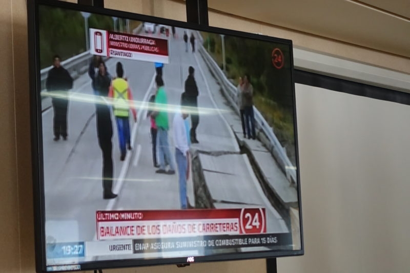
Then they had a home video of someone’s lamp shaking. Those two items played for the rest of the day, and that was it as far as the big earthquake went.
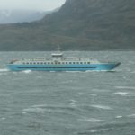
A Windy Weather Event
As we made a few last turns towards Puerto Natales on a hard blue day, the wind began to pick up until it did become a little challenging to hold on to one’s hat, and the sharp-elbowed Swiss could be found already hunkered down in the cozy lee corners.
When we arrived at Pto Natales, the wind was reported at 60 knots, which was odd because the seas were so flat, although the boat did have a modest heel.
Percy made an announcement: the port had been closed and the ferry was going back out to a better anchorage. There would be no docking this afternoon, and probably not this night. So the kitchen made another good meal and we all went to bed.
When I woke up at seven the next morning, we were tied to the dock and the trucks had already left. It was grand! After breakfast, the intrepidistas shouldered their bags and strode off toward Puerto Natales.
*one of the books I have really enjoyed about this area is by Dallas Murphy, called Rounding the Horn. It blends history with modernity, perspective with adventure, in a conversational way. It’s as if we were meeting over a beer, not over a thesis interview.
Trouble editing the photo gallery – sorry, but moving on….