One of the great pleasures of Kuna Yala, these islands along the Panamanian coast otherwise known as the San Blas, is that STUFF isn’t just pouring in, dumped out of the huge container ships constantly streaming past just over the horizon, en route to the Panama Canal. Even if, sometimes, it looks like the containers themselves are pouring in, I only saw this one.
This container on the beach, washed up not too long ago at Esnasdup illustrates a previous point that containers really DO sometimes get away from their ships. PHOTO ESNASDUP CONTAINER . 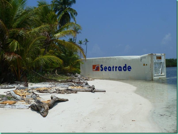
It passed over a small reef and scraped, surprisingly lightly, through the shallows before it landed here. The copper pipe and refrigeration system is gone, and so is the insulation, scraped away for access to the pipe and then removed by ‘aeolian transport’ (wind). The roof is gone too, as if by a P38 can opener, otherwise, the container would be ripe for colonization. Contents? History? Mystery!
Life is close to the bone, or rather, to the vine, to the tree, to the reef, for the resident Kuna people. There isn’t much in the way of the manufactured goods, or the money to pay for them, here. Of the things seen in use and for sale in the tiendas, much of which is either Chinese, or sugar-based, my question has always been “where does it come from? How does it get here?”
Well, now we know a little. Many goods flow in in pickup trucks and jeeps to Carti on the one road that penetrates the Comarca of Kuna Yala from Panama. On a good day, according to some campers we met on an outer island, they can get to Carti from Panama City (which is on the Pacific coast of the isthmus) in ‘just a couple hours’ on a road that is properly paved, down to the yellow line down the middle. The campers came in their own car, probably paid some “Kuna tax’ for using the landing, or the road?, but the Kuna collectively also own a number of jeeps, which ferry goods and people from the city.
This part of the road looks good, but further along it is subject to landslides and other degradation in heavy rains. The terminus is on what used to be the runway of the Carti airport.
The airport no longer operates; the road does a better job of what the airport once did. I’ll also mention that the dozen or so small airports that dot the coast seem to have been built by the US during WWII, part of its canal protection scheme. Anyhow, I’m a little unclear about all the details of the road, save that it can be done.
PHOTO PICKUP TRUCK BEING UNLOADED
So we sat in the shade and watched the various loadings and unloadings taking place along the beach. 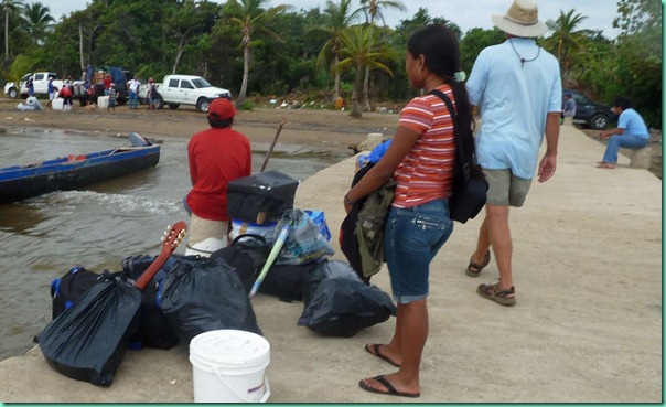
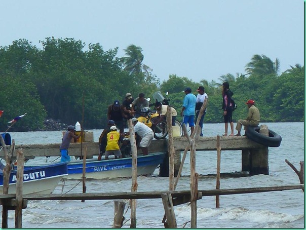
Then there were the three gringoes with the two motorcycles at the end of the dock. Since there is no road all the way through the Darien (which is keeping that last bit of rain forest safe for now), they were travelling to Patagonia via Cartagena, and to Cartagena via one of the several so-called ‘backpacker boats’. Fritz the Cat, one of the largest and longest established members of that tribe, straps up to five bikes along the side decks for the ?five day trip, (3 meals, less than five hundred dollars, I think). Here’s how the bikes get that far.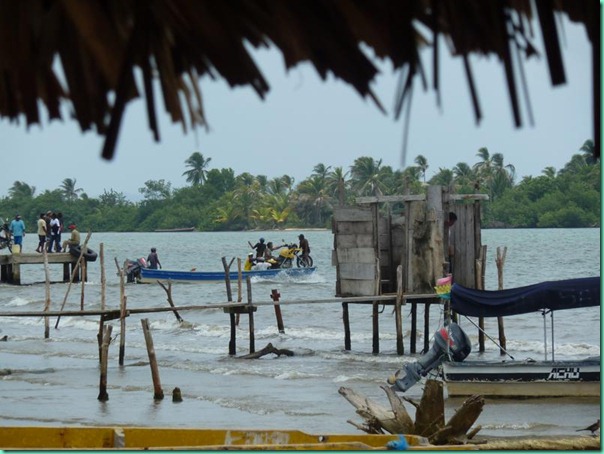
I should mention that this spot is open to the prevailing trades and that we were there during relatively settled conditions. Like the local lanchas, we anchored a bit off and waded ashore, not the most elegant way of arriving, but better than being flipped or bounced off the bottom. 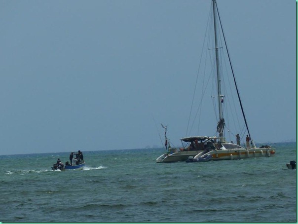
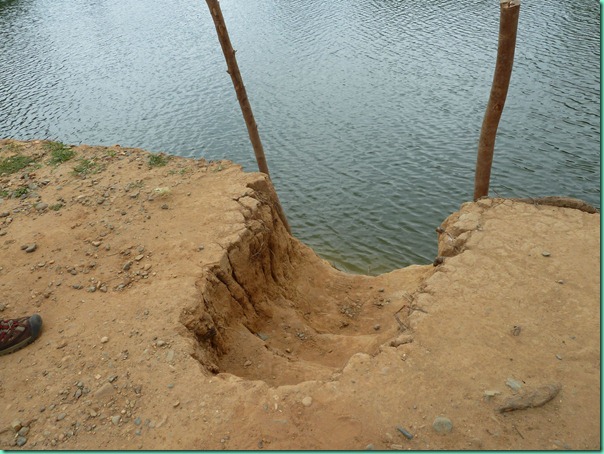
There’s another ‘local’ landing, this one a little way up a nearby river and down an unpaved road. Motorized ulus use this one, and here all a lady has to do to exit is step gently but firmly.
.
