The Weather IS Usually Like This

We sat through the most impressive thunder and lightning display the weekend we got here. Rain came down in wind-blown torrents, the thunder in tooth-rattling tempests and the lightning was nearly nonstop for nearly three hours. It was a ferocious battle. As the frogs had foretold, Chac Mol, the Mayan god whose portfolio includes rain and thunder, was hard at work. Not yet Mayan, to me thunder still sounds like Dutchmen bowling.

The good news was that very little of the lightning left the clouds. We were happily anchored in a snug little bay with wonderful holding, and after about an hour, I got to where I rather enjoyed the storm. And all that nasty salt water was very thoroughly washed off, at no cost to myself.

But generally, between the loss of horizon and consistent trade wind, the hills rising around me, and a sketchy river chart where up is northwest, I’m feeling a little disoriented.

Sometimes I don’t know where the sun comes up, which way the wind usually blows. Where does this road come from, or go? Don’t know why these thunder clouds don’t scoot on past in a big hurry, or why the lightning is so intense for so long. Can’t begin to guess whether it will rain, or not – every day contains within it every possible option, (except cold) so far as I can tell.

Not sure how far above sea level I am, or what those trees are in bloom. There are dozens of lovely bird songs and frog/cicada/cricket chirps, but I can’t name any of them. Doesn’t keep me from enjoying them, however.

Can’t understand a lot of what’s said around me, parallel to my ignorance of the natural world. Kinda peaceful like that.

What should I pay attention to, and what can I ignore?Photobucket
HYACINTH REFLECTION

Another feature of the spring is the burning of – something, maybe the corn fields, or maybe trees to make corn fields. Chac Mal is also the god of corn. What I took at first to be extreme haze was instead ‘humo’ smoke. There was so much that we could not only not see the shore ten miles across the lake, but we couldn’t see the mountains rising 4000 feet behind them. What we could see was dozens of small floating islands of water hyacinth, or something like it. It was eerie – more like icebergs in a blizzard than soft green flowered plants in 80 degree water.
LAGO FLOATING ISLANDS Photobucket
My new friend Claver told me the hyacinth flotilla came from a certain river at the end of the lake, after a big rain. Lots of other things come too, he says, trees, animals, cows, crocodiles, turtles, snakes. I wouldn’t expect garter snakes.

So, apparently Chac Mal is alive and well, and running his particular sphere as he always has.

HYACINTH GALIVANTPhotobucket

Back across the bar

Rio Dulce Sea BuoyThis photo by sv Pacifico, via Picasa. Thanks.

Back across the Rio Dulce bar, now more confidently, early on a grey day with showers brewing in the hills. This time the some of the officials were wearing face masks (medical, not Halloween), in honor of swine flu (gripa porcina). They took them off as soon as they got below. We had more prolonged negotiations with Customs this time, so maybe that’s why she gave me a hug when she left. They’ll all have to get more serious about protocol before the next outbreak!

Security among the yachts has been a concern lately, as people will insist on leaving their very attractive outboard motors floating loose behind their boats throughout the night. Other people will seize the opportunity to swim past and silently slice the painter. There have been a few recent incidents, but as always, when you count up actual cases and compare them to the population at large, it sounds worse than it actually is. At least, until the missing boat is yours, in which case life as you’d want to live it gets complicated.

Theft is one thing, but violent attacks are another. They happen everywhere in the Caribbean, probably everywhere in the world; yet any such incident will reverberate throughout the cruising community for years. And one of the worst happened less than a year ago right here in the Rio Dulce aboard an anchored vessel. Boarders with machetes killed a man, and wounded his wife. What they wanted was dollars, which the couple didn’t have enough of.

Not only was the cruising community stunned, but the local community as well. There are perhaps as many as 400-500 boats spending time here each year which amounts to a giant goose laying many golden eggs. This may explain the subsequent murder of a local woman and her son, reputedly notorious receivers of stolen goods, by other local interests. ‘Vigilante’ ‘justice’ is said to be a more and more common response to increasing levels of crime throughout Guatemala.

Where is the government, the police force, in all this? Well, while we weren’t paying attention in the last few decades, there’s been a long and vicious civil war. Lack of effective government has been both cause and effect. In short, don’t count on the police for much. In a sense the yachties are lucky – we get a naval launch on constant patrol. Some of the issues the Guatemalans, especially the Mayans, have to deal with, are less tractable.

Go back further to United Fruit Company days and you’ll see how the political situation evolved. Guatemala seems to have been particularly unfortunate in its dealings both with ‘El Pulpo’ and with UF’s friends in high places, particularly compared to, say, Costa Rica.

It’s all too much for what’s meant to be a low-key little blog, but I listen curiously whenever these subjects come up. There is a lot more nuance to each story.

And then there’s the varied gringo community, some of whom have been here decades and others, like me, still wet, wide-eyed and wondering. Some are better behaved than others, and some can keep their opinions to themselves.

Meanwhile, we’re spending the summer in a kind of ‘gated community’; the inland river keeping us safe from hurricanes, the Navy patrol boat and the marina security guards protecting us from ‘the bad guys’, and the locals living in their own villages nearby.

I think we’ll make out just fine. We’ve already done a great side trip to Agua Caliente in Lake Izabal, and we’re going back next week. Then I guess we’ll settle into marina life (but probably not the afternoon mah jongg game), inland travel, boat work and Spanish lessons, in no particular order.

http://mayaparadise.com/
http://riodulcechisme.com
http://topics.nytimes.com/top/news/international/countriesandterritories/guatemala/index.html?emc=eta2
http://en.wikipedia.org/wiki/United_Fruit_Company
Some fellow cruisers have great blogs. If you’re coming this way check out
http://svsoggypaws.com/
http://www.sv-moira.com
http://www.svargo.com/
Photobucket
I’m a friend of tourists. The tourist develops (unfolds) the country and benefits (well-being) my family. Or something like that.

Bye, Bye, Belize

Map of Belize habaneros

Belize: topographical features divide the Belizean landscape into two main physiographic regions. The most visually striking of these regions is distinguished by the Maya Mountains and the associated basins and plateaus that dominate all but the narrow coastal plain in the southern half of the country. The mountains rise to heights of about 1,100 metres.
The second region comprises the northern lowlands, along with the southern coastal plain. Eighteen major rivers and many perennial streams drain these low-lying areas. The coastline is flat and swampy, with many lagoons, especially in the northern and central parts of the country. Westward from the northern coastal areas, the terrain changes from mangrove swamp to tropical pine savannah and hardwood forest.
Copied from someplace on the Internet!

Funny, just as we were leaving, the Lonely Planet guidebook to Belize came our way, and with it the answers to some burning (well, smoldering) questions.

One thing I sometimes think about is whether reading touristic literature about a destination is ‘cheating’, by creating expectations about some otherwise ‘virginal’ place. I’ve tried right brain travel, being a blank slate and letting the place teach me about itself, and left brain travel, arming myself with an outline whose blanks I can fill in on the spot. Philosophically I like the right brain approach, but as a practical matter, a few basic facts sure do light everything up!

So I was happy to connect the Belize dots with a guidebook, and now with a couple informative websites too (http://www.belizenet.com/history). Did you know you can download PDF individual chapters of the Lonely Planet guides? Good idea!

Why, for one, is Belize, formerly British Honduras, so ‘underpopulated? How did it escape the plantation syndrome that afflicted other colonies? Well, the British who first came here were ‘Baymen’, pirates and buccaneers between ships to pillage. It says something about the swashbuckling life that they eventually preferred to work harvesting forest products, first ‘logwood’ used for dying woolen textiles, and later mahogany.

The Spanish influence came via the Mexican interior and the Mayan empires. There were attacks and counter-attacks, and European treaties, but the upshot was a battle in 1798 in which the British Baymen defeated the Spanish, who never returned.

The loggers apparently owned slaves, but the nature of logging gave the slaves much more independence than the plantation system did, and also there weren’t that many women, especially in the logging camps!

There’s some of the usual stuff about a richer merchant class, often absentee, and better at profiteering than stewardship- does that ever change? Land was kept out of production, a small-holder agricultural tradition didn’t develop as it might have, the Maya were driven further inland. Although the logwood market fell apart, and the slow-growing mahogany wasn’t replanted, successor products included chichle (think Chicklets chewing gum) until it was replaced by synthetics, bananas, which succumbed to disease. Eventually, in the 1950s, citrus overtook timber as the number one export product.

The ‘saving grace’, you might say, compared to other timber areas, is that Belize has a number of rivers, none of them major but all of them important. And although the loggers were not conservationists, their methods were selective, so there was no clear-cutting. Because of the rivers for floating the logs, there were no roads into the forests, and thus, no thin-edge-of-the-wedge to bring in the subsistence farmers who are burning rainforests in other parts of the world.

“Government policy at independence was strongly conservationist, but underfunded. NGOs and private initiatives are essential to success of environmental protection” says LP. Active NGOs include the Belize Audubon Society, Friends of Nature, Programme for Belize, Toledo Institute for Development and Environment, and the Wildlife Conservation Society. Jacques Cousteau’s early dives in the Blue Hole instigated barrier reef protection.

There are things inland I’d have liked to see; that would be a different trip, but one I still hope to make! Among them, the Community Baboon Sanctuary, and Lamanai, a Mayan ruin reached via the New River; also pretty much any river trip or cave in the mountains.

In my brief career as a Three Centuries Annapolis tour guide, I learned that history passing you by can be a very good thing (the harbor being silted in made Annapolis a backwater, surpassed by Baltimore, and leaving something for posterity to restore).

Relatively speaking, that’s what seems to have happened to Belize. Taking the longer view, I’m impressed by how little changes become magnified with time. I think it’s called evolution!

Half Moon Caye at Lighthouse Reef, with huge pictures

Half Moon lighthouses

Besides snorkeling and diving and walking bemusedly through the pathways of the ‘eco-village’ on Long Caye, we went over to Half Moon Caye, also on the dive boat.
It was great fun riding on the bridge with Frenchie, do-si-do-ing our way at high speed through skinny little cuts and reefy patches – way more fun than over-exercising my imagination in those shallows on a cloudy day!driving with FrenchyPhotobucket

Photobucket

It’s a quintessentially beachy looking beach, but according to the reader boards, the coconuts were planted as a crop and aren’t as protective of land or wildlife as the littoral forest they encroach upon.

Frenchy told me a story about the old guy sitting under the tree: He’s a 76-year old, and got bored in Belize City; prefers to spend his time out here.

littoral forest
There’s a campground there, this day filled with Canadian students on a high school outdoor education/graduation trip. Congratulations to the grant writer or the PTA on that one! There are rangers to collect the fees, of course. Also two ruined lighthouses, a little gift shop and visitor center, some Clivus Multrum toilets, picnic tables for daytrippers and divers waiting out their de-gasification stops, and a few reader boards.

Half Moon visitor center

But the best part is the bird watching platform right up at nesting level. I spent several ammonia-scented aromatherapy hours here one morning watching the frigate birds and red-footed boobies sleeping, grooming, coming and going. There are iguanas living in those tree tops too. IGUANA EATINGiguana eating

frigate aloftThe magnificent frigate birds – that’s really their name (fregata magnificens)- look a little less elegant up close than they do soaring and scissoring their tails as they dive to rob the pelicans and boobies of their prey.FRIGATE FLYING
frigates feed meI had been under the impression that they never landed, but I was wrong about that. It’s just that they can’t take off from water, hence their predatory ways. Considering that, I’m surprised the boobies will live in such close proximity to the frigates. And all of them tolerate the gawking tourists on the platform with the utmost equanimity.booby bust

Whew! Some kind of breakthrough on the photo front – famine has become feast. Sorry, folks, I left the default size too big and now can’t figure out an easy way to change everything (anything!) So, meantime, enjoy the whiskers on this hermit crab!hermit crab close up

Lighthouse Reef, Long Caye

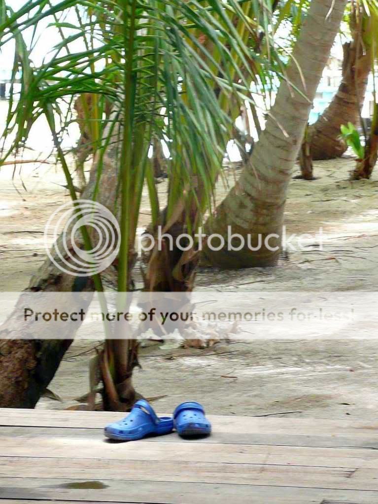
BLUE SHOESBlue shoes

It’s thirty miles from the mainland to Lighthouse Reef, and no reason to expect anything more than reef and scrubby cayes. Just another strip of mangrove with a few palm trees, was my initial impression of the largest of the four cayes out at Lighthouse.But, as usual, there’s more to the story. Someone tried to develop the island as an ‘eco-village’– may in fact still be trying.Long Caye lot map

The north end is platted out into nearly 500 small lots lining substantial boardwalks and paths cut through the mangrove and littoral forest. A resort was built, maybe 40 rooms, but apparently it failed within its first month of operations, four or five years ago.
Long Caye lot 398Long Caye street

LONG CAYE BOARDWALK
But it’s still there, in pretty good shape, with a big kitchen and a bar still with full liquor bottles. Out back there’s a hospital bed. A caretaker keeps the decks swept and the paths raked. He was going out to spray for mosquitoes the day we met him, but he was a little late!
Long Caye lot 398

We made a big splurge day of three tank dives off Half Moon Caye. This site is along a wall with a drop of hundreds of feet, of which we saw the top eighty or so. The coral looked pretty healthy and it was wonderful to swim through the ‘valleys’ out into the deep blue sea. Of course ‘the weather’s usually better than this’ – the whole time we were there it was windy and squally, but not underwater! I imagine it’s really spectacular in the bright sun. The developments’s ‘community center’ has been sold to a very nice young Belgian couple, Ruth and Karel, (from Zeebrugen) who are living basically by themselves out there and running a new dive operation and B&B, huracandiving.com.
With a mainly reliable satellite internet connection they make their business arrangements and order their groceries. Frenchy the boat driver and second divemaster can make the trip out from The Big Smoke in his 43’ footer with 2×200 hp Yamaha outboards in something over 2 hours. Sounds like the big problem out here is iguanas wanting to eat the vegetable garden. And maybe yachties wanting to hang out and eat the other groceries that are so carefully apportioned!

The other national park in the area is the famous Blue Hole. The two parks at Lighthouse Atoll are run by the Belize Audubon Society and are apparently the money generators for the entire Belize park system. Half Moon Caye costs $10 and Blue Hole is a whopping $30 USD park fee if you get in the water.
Blue Hole Scan
So of course we didn’t do the dive there, but did ride out with the dive boat for our ‘been there’ credentials. The Blue Hole is a limestone sinkhole 1000’ feet across, about 450’ deep, that once was well above sea level. The dive, a brief, dark one, goes down about 140-150 feet to see stalactites that are angled from being formed during ?Pleistocene? tectonic plate activity. The second dive is to look for sharks which are about the most notable life form in the Hole. But I must say, if you’re not in an airplane, it would be pretty hard to know when you’d found (The Blue Hole) IT!
Leaf toed gecko on screen
Possibly, a ‘special’ leaf-toed gecko found only on Lighthouse and Half Moon.